Master Data
Geodata Source
Befliegung Baumreihe
Identifier
//Geodaten/uav/DE_MV_Mamerow/20240326_lidar/result/agroforst_mv_quer.las
//Geodaten/uav/DE_MV_Mamerow/20240326_lidar/result/agroforst_mv_quer_las14.las
Bounding Box
Dataset Properties
Dataset Format
Dataset Type
Data Size [MB]
18100.00
Sensor Type
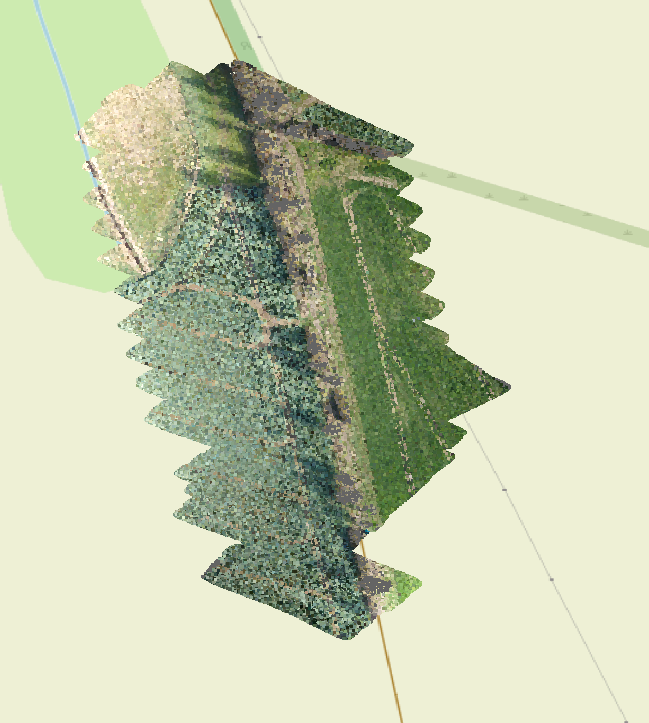
Preview Bitmap
Spatial Information
Spatial Coverage
Central Europe
Spatial File
bb_mamerow.kml
(1.18 KB)
Projection
Koordinaten
POINT (12.448435102379 53.722479095329)
Temporal Information
Copyright Information
Dataset Creator
MLU Halle - Wittenberg
Von-Seckendorff-Platz 4
Institut für Geowissenschaften und Geographie
06120 Halle (Saale)
Germany
Dataset Publisher
MLU Halle - Wittenberg
Von-Seckendorff-Platz 4
Institut für Geowissenschaften und Geographie
06120 Halle (Saale)
Germany
Dataset Contributor
MLU Halle - Wittenberg
Von-Seckendorff-Platz 4
Institut für Geowissenschaften und Geographie
06120 Halle (Saale)
Germany
Access Rights
Language