Open Ground Truth Data Portal | DEMMIN
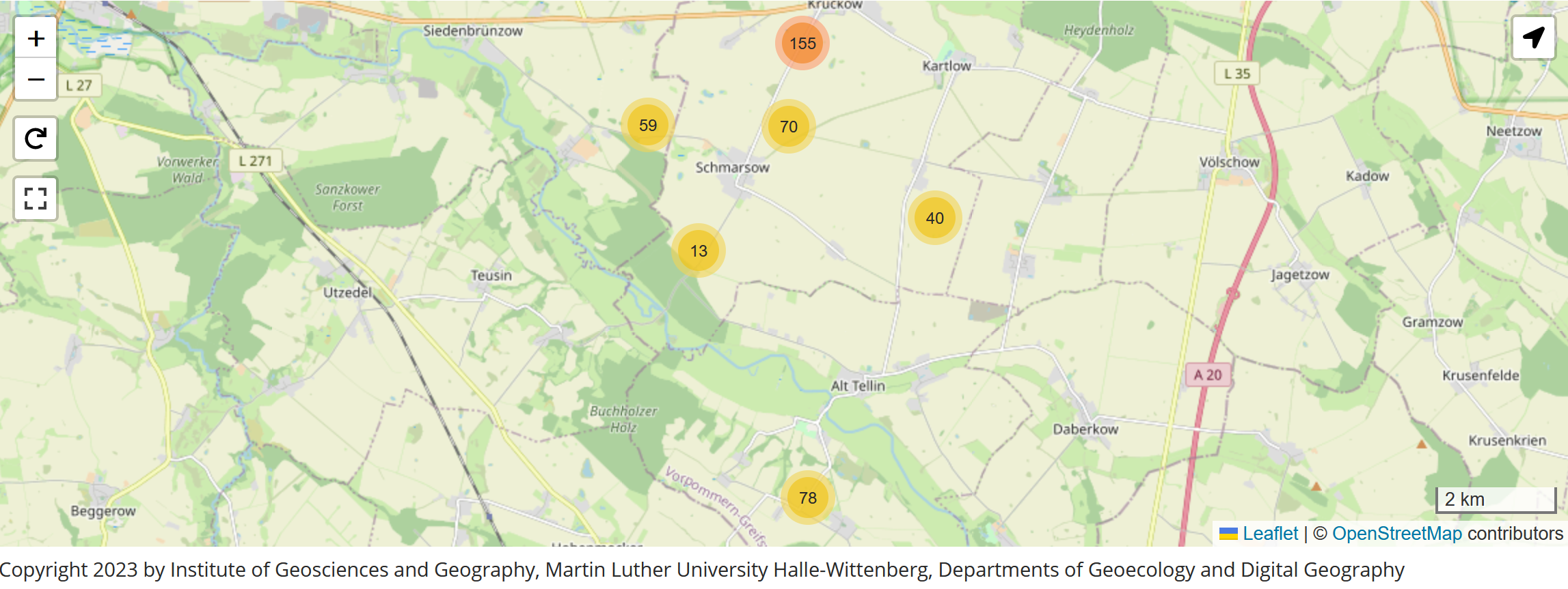
Sampling Design Map
Using the interactive map to find field, laboratory and aggregated data
Click on the graphic preview to go to the app!
Alternative approaches:
Open Aggregated Data
These data represent the average conditions of particularly essential parameters of the field campaigns (vegetation and soil parameters). In this context, we provide statistically aggregated measures of location and dispersion.
Campaigns | ||||||
|---|---|---|---|---|---|---|
| Date | ESU Open Data APP | SSU Open Data APP | Description | Interface, Data formats | Access level | Status |
| Time series of ESU-aggregated DEMMIN campaign data since 2018 until now | Fractional Vegetation Cover (FVC), Proportion of senescent material (PSM), Canopy height, Content of Leaf Chlorophyll (Chl), Soil Moisture, Leaf Area Index, Map with spatial view of Campaign Design | App with Data Views, interactive Charts with Download Functions (Formats: JPEG, PDF, PNG, SVG, XLS), Open Data Interfaces (CSV, JSON, XML) | Open Data | Reviewed | ||
Internal Raw Data (OPEN FOR DEMMIN MEMBERS)
These apps with data views and interactive charts represent all captured field and lab values of the data in up to 180 data fields per record. These data are comprehensively checked for plausibility and are initially only available to the DEMMIN consortium for scientific questions (data output after decision on request).
Campaigns | ||||||
|---|---|---|---|---|---|---|
| Year | Field Data APP | Lab Data APP | Description | Interface, Data formats | Access level | status |
| Time series of complete DEMMIN campaign raw data since 2018 until now | All Campaigns with Raw Data from 2018 to 2023 | Field Raw Data, App with Data View and Interfaces (CSV, JSON, XML, GeoJSON) | internal* | Reviewed | ||
Contact us to get access to internal access levels of data (internal* means members of the DEMMIN Consortium) | ||||||