Welcome to
 |  |
IN SITU.MLUGEO Fair Open Data Portals
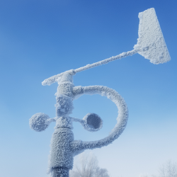
Weather & Cimate Services
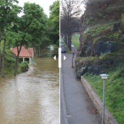
Runoff & Water Quality Services
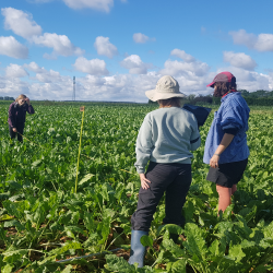
Digital Arable Geoservices
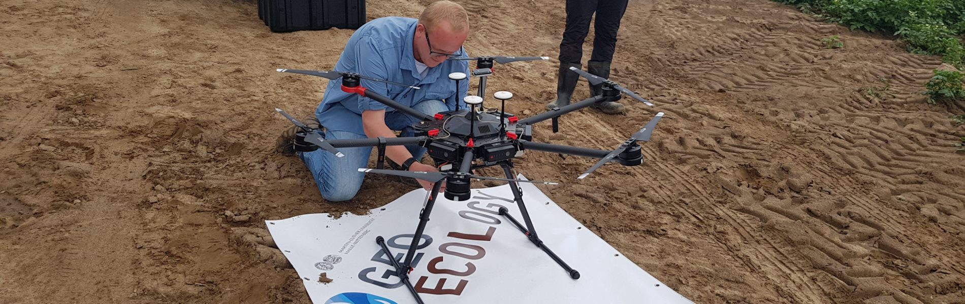
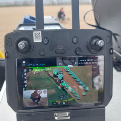
UAV-Services
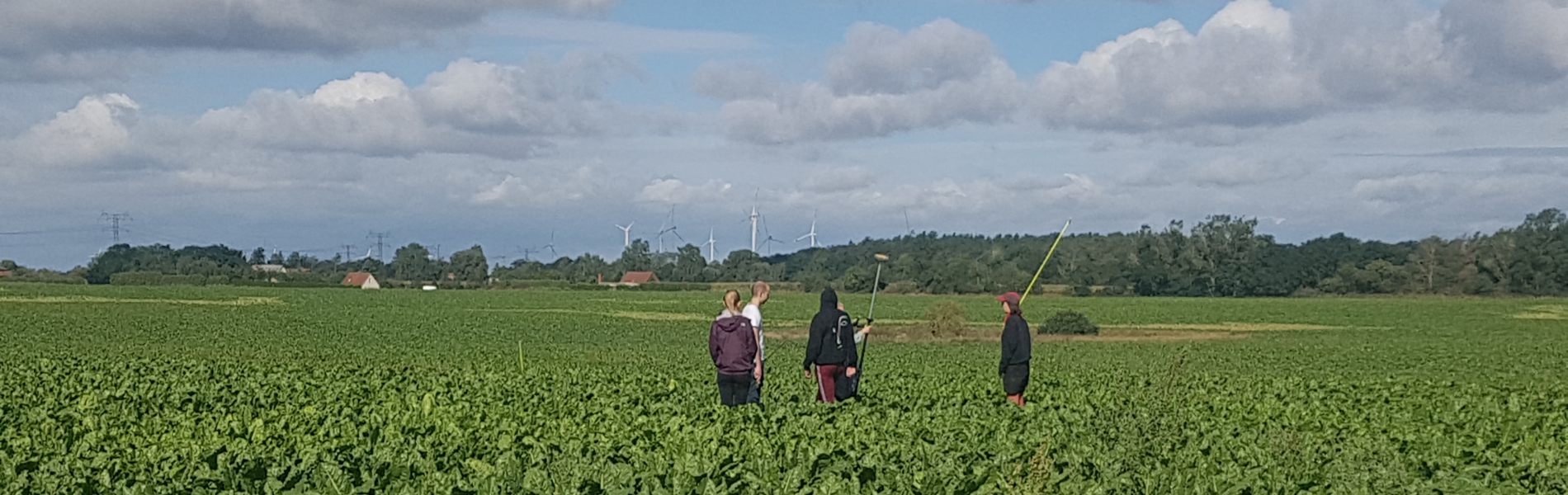
Map of the field campaigns
In Situ field campaigns of the departments of geoecology and digital geography of MLU
This interactive map provides an overview of the location of sites for the collection of ground truth data by our institution and is intended for quick access.