Master Data
Geodata Source
Identifier
//Geodaten/uav/DE_MV_Prebberede/20240327_h20t/results/20240327_T_orthomosaic_5cm.tif
//Geodaten/uav/DE_MV_Prebberede/20240327_h20t/results/T_DEM_7cm.tif
Bounding Box
Dataset Properties
Dataset Format
Dataset Type
Data Size [MB]
1600.00
Sensor Type
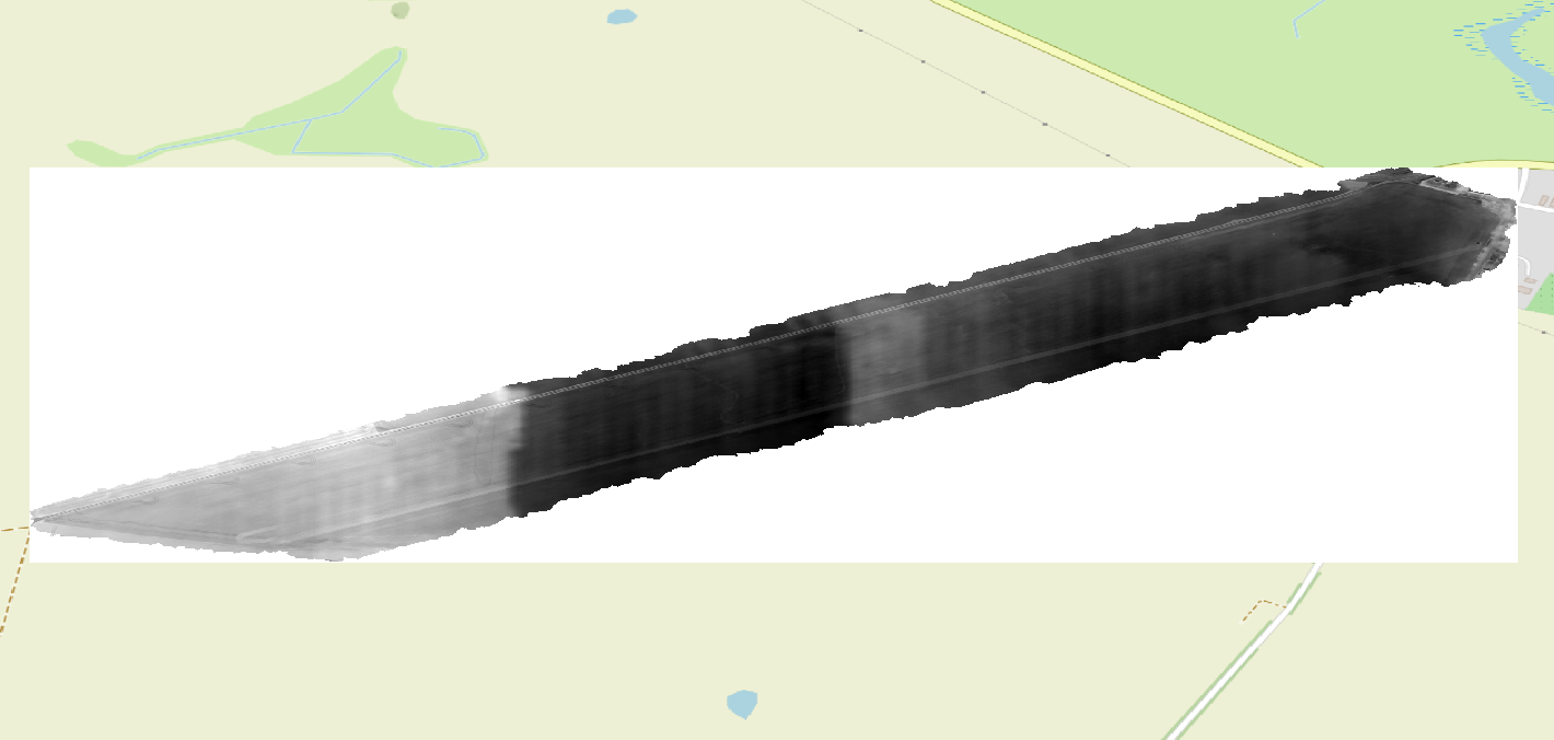
Preview Bitmap
Spatial Information
Spatial Coverage
Central Europe
Spatial File
bb_prebberede.kml
(1.18 KB)
Projection
Spatial Resolution
5x5cm
Koordinaten
POINT (12.502241450428 53.894517860641)
Temporal Information
Copyright Information
Dataset Creator
MLU Halle - Wittenberg
Von-Seckendorff-Platz 4
Institut für Geowissenschaften und Geographie
06120 Halle (Saale)
Germany
Dataset Publisher
MLU Halle - Wittenberg
Von-Seckendorff-Platz 4
Institut für Geowissenschaften und Geographie
06120 Halle (Saale)
Germany
Dataset Contributor
MLU Halle - Wittenberg
Von-Seckendorff-Platz 4
Institut für Geowissenschaften und Geographie
06120 Halle (Saale)
Germany
Access Rights
Language