Master Data
Geodata Source
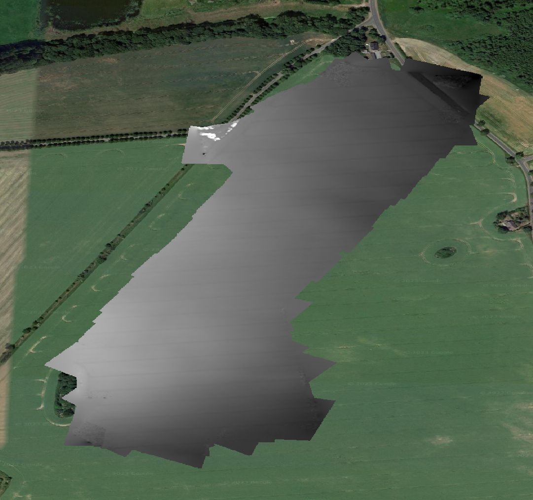
Befliegung Experementierfelder Projekt Agrisens DEMMIN 4.0
Versuchsfeld Julius Kühn-Institut
Identifier
//Geodaten/uav/DE_MV_Loitz/20220503_micasense/results/jki_20220502_dem_10cm.tif
//Geodaten/uav/DE_MV_Loitz/20220503_micasense/results/jki_20220502_ortho_10cm.tif
Bounding Box
Dataset Properties
Dataset Format
Dataset Type
Data Size [MB]
1900.00
Sensor Type
Preview Bitmap
Spatial Information
Spatial Coverage
Central Europe
Spatial File
BoundingBox
(1.19 KB)
Projection
Spatial Resolution
10x10cm
Koordinaten
POINT (13.134815207833 53.960065470235)
Temporal Information
Copyright Information
Dataset Creator
MLU Halle - Wittenberg
Von-Seckendorff-Platz 4
Institut für Geowissenschaften und Geographie
06120 Halle (Saale)
Germany
Dataset Publisher
MLU Halle - Wittenberg
Von-Seckendorff-Platz 4
Institut für Geowissenschaften und Geographie
06120 Halle (Saale)
Germany
Dataset Contributor
MLU Halle - Wittenberg
Von-Seckendorff-Platz 4
Institut für Geowissenschaften und Geographie
06120 Halle (Saale)
Germany
Access Rights
Language