Master Data
Geodata Source
Identifier
//Geodaten/uav/DE_MV_Ahrenshoop/20240425_micasense/results/2_dem_5cm.tif
//Geodaten/uav/DE_MV_Ahrenshoop/20240425_micasense/results/2_ndvi_2cm.tif
//Geodaten/uav/DE_MV_Ahrenshoop/20240425_micasense/results/2_ortho_norm_2cm.tif
//Geodaten/uav/DE_MV_Ahrenshoop/20240425_micasense/results/3_dem_5cm.tif
//Geodaten/uav/DE_MV_Ahrenshoop/20240425_micasense/results/3_ndvi_2cm.tif
//Geodaten/uav/DE_MV_Ahrenshoop/20240425_micasense/results/3_ortho_norm_2cm.tif
//Geodaten/uav/DE_MV_Ahrenshoop/20240425_micasense/results/4_dem_5cm.tif
//Geodaten/uav/DE_MV_Ahrenshoop/20240425_micasense/results/4_ndvi_2cm.tif
//Geodaten/uav/DE_MV_Ahrenshoop/20240425_micasense/results/4_ortho_norm_2cm.tif
//Geodaten/uav/DE_MV_Ahrenshoop/20240425_micasense/results/5_dem_5cm.tif
//Geodaten/uav/DE_MV_Ahrenshoop/20240425_micasense/results/5_ndvi_2cm.tif
//Geodaten/uav/DE_MV_Ahrenshoop/20240425_micasense/results/5_ortho_norm_2cm.tif
Bounding Box
Dataset Properties
Dataset Format
Dataset Type
Data Size [MB]
6000.00
Sensor Type
Preview Bitmap
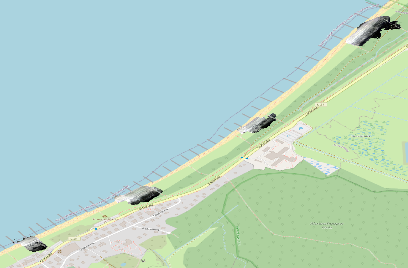
Spatial Information
Spatial Coverage
Central Europe
Spatial File
bb_ahrenshoop.kml
(1.19 KB)
Projection
Spatial Resolution
2x2cm
Koordinaten
POINT (12.445275674191 54.397822641233)
Temporal Information
Copyright Information
Dataset Creator
MLU Halle - Wittenberg
Von-Seckendorff-Platz 4
Institut für Geowissenschaften und Geographie
06120 Halle (Saale)
Germany
Dataset Publisher
MLU Halle - Wittenberg
Von-Seckendorff-Platz 4
Institut für Geowissenschaften und Geographie
06120 Halle (Saale)
Germany
Dataset Contributor
MLU Halle - Wittenberg
Von-Seckendorff-Platz 4
Institut für Geowissenschaften und Geographie
06120 Halle (Saale)
Germany
Access Rights
Language