Master Data
Geodata Source
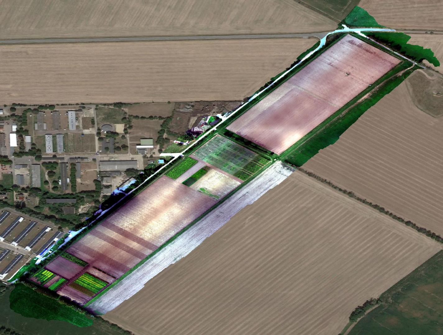
AGL 20 und 50 m Befliegungen Stroh Mitte, Süden und Norden mit DEM und Orthophotos als Produkte (Wide und Zoom)
Identifier
//Geodaten/uav/DE_ST_Merbitz/20241016_h20t/results/*
Bounding Box
Dataset Properties
Dataset Format
Dataset Type
Data Size [MB]
16500.00
Sensor Type
Preview Bitmap
Spatial Information
Temporal Information
Copyright Information
Dataset Creator
MLU Halle - Wittenberg
Von-Seckendorff-Platz 4
Institut für Geowissenschaften und Geographie
06120 Halle (Saale)
Germany
Dataset Publisher
MLU Halle - Wittenberg
Von-Seckendorff-Platz 4
Institut für Geowissenschaften und Geographie
06120 Halle (Saale)
Germany
Dataset Contributor
MLU Halle - Wittenberg
Von-Seckendorff-Platz 4
Institut für Geowissenschaften und Geographie
06120 Halle (Saale)
Germany
Access Rights
Language