Master Data
Alternative Title
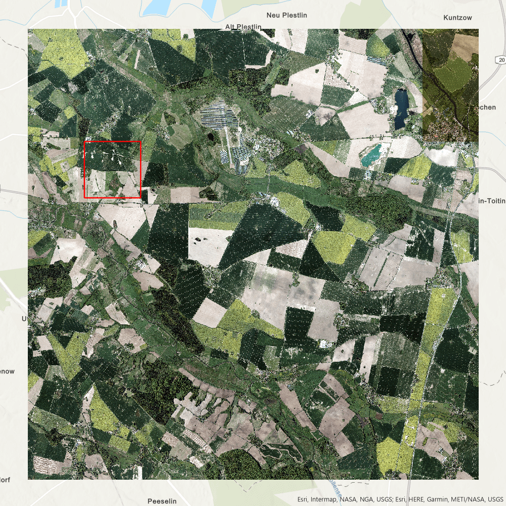
DOP20pan_33_3780_5974
Geodata Source
Digitales Orthophoto (DOP)
Kachelzahl: 3337805974
Identifier
\\gdi-demmin\Geobasisdaten\Luftbilder\DOP20pan
Bounding Box
Dataset Properties
Spatial Information
Spatial Coverage
Central Europe
Spatial File
dop20pan_33_3780_5974_2_mv_2019.kmz
(2.53 KB)
Projection
Spatial Resolution
0,2x0,2 Meter
Copyright Information
Dataset Creator
Landesamt für innere Verwaltung
Lübecker Str. 289
Amt für Geoinformation, Vermessungs-und Katasterwesen
19059 Schwerin
Germany
Dataset Publisher
MLU Halle - Wittenberg
Von-Seckendorff-Platz 4
Institut für Geowissenschaften und Geographie
06120 Halle (Saale)
Germany
Dataset Contributor
MLU Halle - Wittenberg
Von-Seckendorff-Platz 4
Institut für Geowissenschaften und Geographie
06120 Halle (Saale)
Germany
Access Rights
Access Rights Description
Einzelplatzlizenz LVERMGEO Meck/Pomm
Ressource Information
Relation
DOP20pan_mosaik
Language