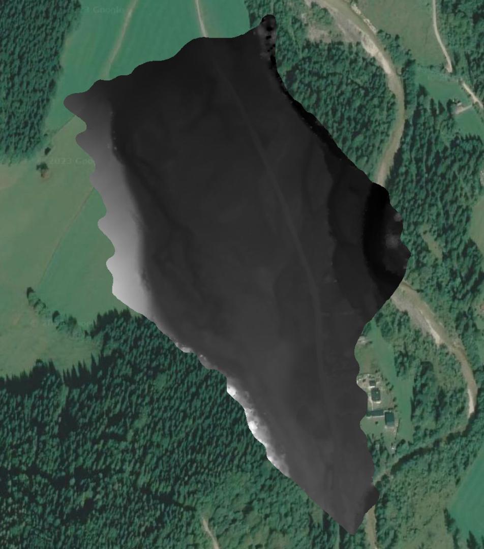
Master Data
Geodata Source
Paris Lodron Universität Salzburg, Fachbereich Umwelt & Biodiversität
Befliegung Buckelwiesen
Identifier
//Geodaten/uav/AUT_OOE_Molln/20220726_lidar/results/20220726_lidar-20220728-204352_DHM.tif
//Geodaten/uav/AUT_OOE_Molln/20220726_lidar/results/20220726_lidar-20220728-204003_DTM_hillshaded.tif
//Geodaten/uav/AUT_OOE_Molln/20220726_lidar/results/20220726_lidar-20220728-204003_DTM.tif
//Geodaten/uav/AUT_OOE_Molln/20220726_lidar/results/20220726_lidar-20220728-204001_DSM.tif
//Geodaten/uav/AUT_OOE_Molln/20220726_lidar/results/20220726_lidar-20220727-152109_DHM.tif
//Geodaten/uav/AUT_OOE_Molln/20220726_lidar/results/20220726_lidar-20220727-152108_DTM_hillshaded.tif
//Geodaten/uav/AUT_OOE_Molln/20220726_lidar/results/20220726_lidar-20220727-152108_DTM.tif
//Geodaten/uav/AUT_OOE_Molln/20220726_lidar/results/20220726_lidar-20220727-152108_DSM.tif
Bounding Box
Dataset Properties
Dataset Format
Dataset Type
Data Size [MB]
10000.00
Sensor Type
Preview Bitmap

Spatial Information
Spatial Coverage
Central Europe
Spatial File
BoundingBox
(1.19 KB)
Projection
Koordinaten
POINT (14.357705242944 47.841023201184)
Temporal Information
Copyright Information
Dataset Creator
MLU Halle - Wittenberg
Von-Seckendorff-Platz 4
Institut für Geowissenschaften und Geographie
06120 Halle (Saale)
Germany
Dataset Publisher
MLU Halle - Wittenberg
Von-Seckendorff-Platz 4
Institut für Geowissenschaften und Geographie
06120 Halle (Saale)
Germany
Dataset Contributor
MLU Halle - Wittenberg
Von-Seckendorff-Platz 4
Institut für Geowissenschaften und Geographie
06120 Halle (Saale)
Germany