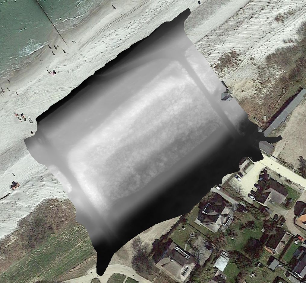
Master Data

Geodata Source

Abteilung Küste, Staatlisches Amt für Landwirtschaft und Umwelt Mittleres Mecklenburg

Flugwetter: stark neblig

Flughöhe: 30m

Identifier
//Geodaten/uav/DE_MV_Ahrenshoop/20230301_lidar/results/lidar_ahrenshoop_2cm_20230315-100553_dhm.tif
//Geodaten/uav/DE_MV_Ahrenshoop/20230301_lidar/results/lidar_ahrenshoop_2cm_20230315-100553_dsm.tif
//Geodaten/uav/DE_MV_Ahrenshoop/20230301_lidar/results/lidar_ahrenshoop_2cm_20230315-100553_dtm.tif
//Geodaten/uav/DE_MV_Ahrenshoop/20230301_lidar/results/lidar_ahrenshoop_2cm_20230315-100553_hillshade.tif
//Geodaten/uav/DE_MV_Ahrenshoop/20230301_lidar/results/lidar_ahrenshoop_5cm_20230315-102551_dhm.tif
//Geodaten/uav/DE_MV_Ahrenshoop/20230301_lidar/results/lidar_ahrenshoop_5cm_20230315-102551_dsm.tif
//Geodaten/uav/DE_MV_Ahrenshoop/20230301_lidar/results/lidar_ahrenshoop_5cm_20230315-102551_dtm.tif
//Geodaten/uav/DE_MV_Ahrenshoop/20230301_lidar/results/lidar_ahrenshoop_5cm_20230315-102551_hillshade.tif
Bounding Box

Dataset Format

Data Size [MB]
1300.00
Preview Bitmap
Preview
Spatial Coverage
Central Europe
Spatial File
BoundingBox (1.19 KB)

Projection

Koordinaten
POINT (12.417943263027 54.381682910953)

Recording Year

Data Created
Data Modified

Data Update Period

Language

x

Please add some content in Animated Sidebar block region. For more information please refer to this tutorial page:

Add content in animated sidebar