Master Data
Geodata Source
Identifier
//Geodaten/uav/DE_ST_Brachwitz/20240507_micasense/results/20240507_micasense_mx_ortho_norm_5cm.tif
//Geodaten/uav/DE_ST_Brachwitz/20240507_micasense/results/Chunk 1_dem_5cm.tif
Bounding Box
Dataset Properties
Dataset Format
Dataset Type
Data Size [MB]
2000.00
Sensor Type
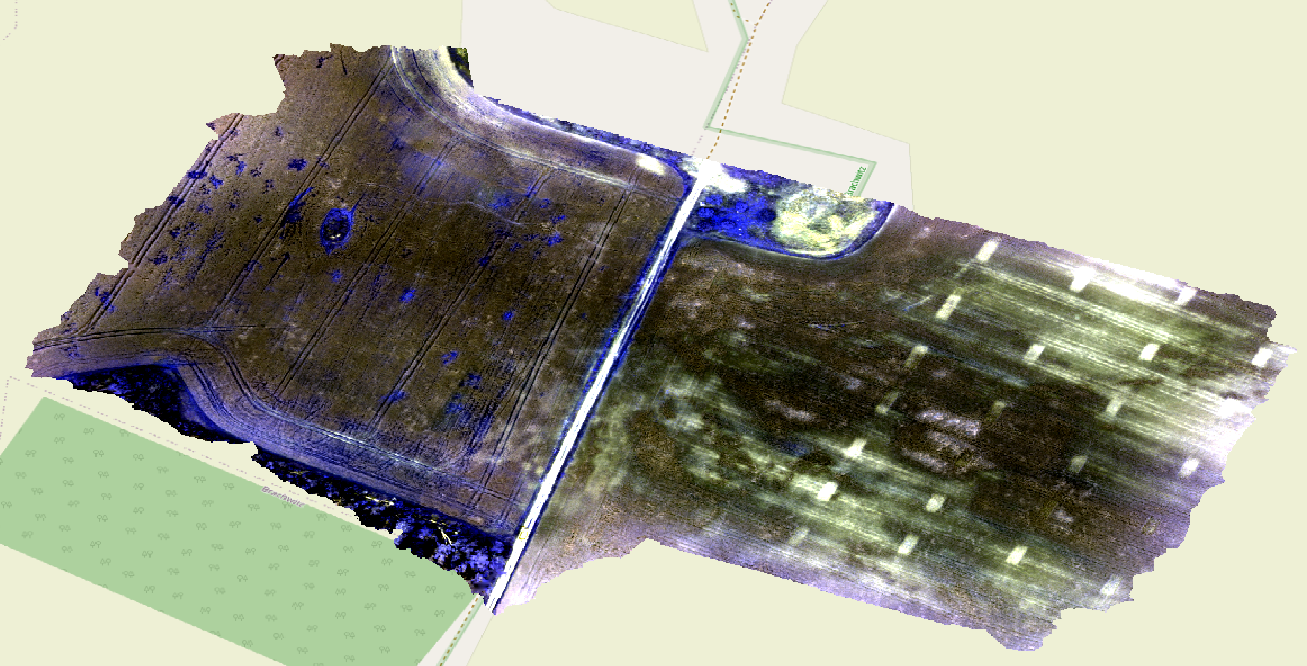
Preview Bitmap
Spatial Information
Spatial Coverage
Central Europe
Spatial File
bb_brachwitz_1.kml
(1.18 KB)
Projection
Spatial Resolution
5x5cm
Koordinaten
POINT (11.8773552334 51.551526994117)
Copyright Information
Dataset Creator
MLU Halle - Wittenberg
Von-Seckendorff-Platz 4
Institut für Geowissenschaften und Geographie
06120 Halle (Saale)
Germany
Dataset Publisher
MLU Halle - Wittenberg
Von-Seckendorff-Platz 4
Institut für Geowissenschaften und Geographie
06120 Halle (Saale)
Germany
Dataset Contributor
MLU Halle - Wittenberg
Von-Seckendorff-Platz 4
Institut für Geowissenschaften und Geographie
06120 Halle (Saale)
Germany
Access Rights
Language