Master Data
Geodata Source
Amtliches Topographisch-Kartographisches Informationssystem (ATKIS)
Basis - Digitales Landschaftsmodell (Basis-DLM)
Maßstab: 1:10.000
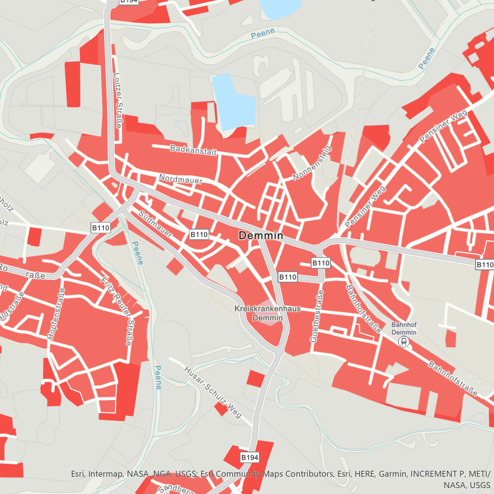
AX_FlaecheBesondererFunktionalerPraegung
AX_FlaecheGemischterNutzung
AX_Friedhof
AX_Halde
AX_IndustrieUndGewerbeflaeche
AX_SportFreizeitUndErholungsflaeche
AX_TagebauGrubeSteinbruch
AX_Wohnbauflaeche
Dataset Properties
Spatial Information
Projection
Copyright Information
Landesamt für innere Verwaltung
Lübecker Str. 289
Amt für Geoinformation, Vermessungs-und Katasterwesen
19059 Schwerin
Germany
MLU Halle - Wittenberg
Von-Seckendorff-Platz 4
Institut für Geowissenschaften und Geographie
06120 Halle (Saale)
Germany
MLU Halle - Wittenberg
Von-Seckendorff-Platz 4
Institut für Geowissenschaften und Geographie
06120 Halle (Saale)
Germany
