Master Data
Geodata Source
Befliegung für Steindetektion
Identifier
//Geodaten/uav/DE_ST_Halle/20200903_micasense/results/steine_10_kwtz.tif
Bounding Box
Dataset Properties
Dataset Format
Dataset Type
Data Size [MB]
2440.00
Sensor Type
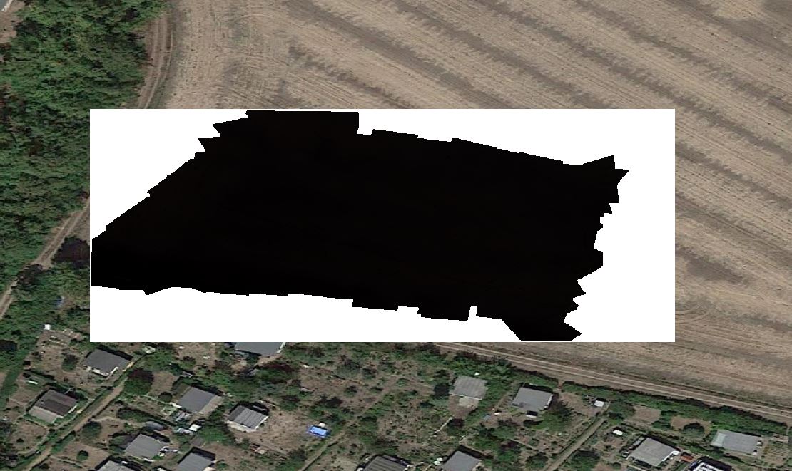
Preview Bitmap
Spatial Information
Spatial Coverage
Central Europe
Spatial File
BoundingBox
(496 bytes)
Projection
Koordinaten
POINT (11.948925545799 51.518213801472)
Temporal Information
Copyright Information
Dataset Creator
MLU Halle - Wittenberg
Von-Seckendorff-Platz 4
Institut für Geowissenschaften und Geographie
06120 Halle (Saale)
Germany
Dataset Publisher
MLU Halle - Wittenberg
Von-Seckendorff-Platz 4
Institut für Geowissenschaften und Geographie
06120 Halle (Saale)
Germany
Dataset Contributor
MLU Halle - Wittenberg
Von-Seckendorff-Platz 4
Institut für Geowissenschaften und Geographie
06120 Halle (Saale)
Germany
Access Rights
Language