Master Data
Geodata Source
Abteilung Küste, Staatlisches Amt für Landwirtschaft und Umwelt Mittleres Mecklenburg
Flugwetter: stark neblig
Flughöhe: 30m
Identifier
//Geodaten/uav/DE_MV_Ahrenshoop/20230301_lidar/results/lidar_ahrenshoop_2cm_20230315-100553_dhm.tif
//Geodaten/uav/DE_MV_Ahrenshoop/20230301_lidar/results/lidar_ahrenshoop_2cm_20230315-100553_dsm.tif
//Geodaten/uav/DE_MV_Ahrenshoop/20230301_lidar/results/lidar_ahrenshoop_2cm_20230315-100553_dtm.tif
//Geodaten/uav/DE_MV_Ahrenshoop/20230301_lidar/results/lidar_ahrenshoop_2cm_20230315-100553_hillshade.tif
//Geodaten/uav/DE_MV_Ahrenshoop/20230301_lidar/results/lidar_ahrenshoop_5cm_20230315-102551_dhm.tif
//Geodaten/uav/DE_MV_Ahrenshoop/20230301_lidar/results/lidar_ahrenshoop_5cm_20230315-102551_dsm.tif
//Geodaten/uav/DE_MV_Ahrenshoop/20230301_lidar/results/lidar_ahrenshoop_5cm_20230315-102551_dtm.tif
//Geodaten/uav/DE_MV_Ahrenshoop/20230301_lidar/results/lidar_ahrenshoop_5cm_20230315-102551_hillshade.tif
Bounding Box
Dataset Properties
Dataset Format
Dataset Type
Data Size [MB]
1300.00
Sensor Type
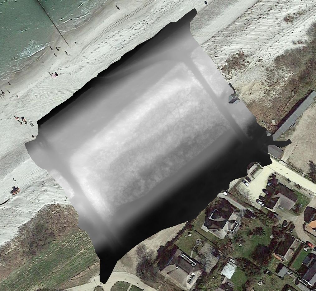
Preview Bitmap
Spatial Information
Spatial Coverage
Central Europe
Spatial File
BoundingBox
(1.19 KB)
Projection
Koordinaten
POINT (12.417943263027 54.381682910953)
Temporal Information
Copyright Information
Dataset Creator
MLU Halle - Wittenberg
Von-Seckendorff-Platz 4
Institut für Geowissenschaften und Geographie
06120 Halle (Saale)
Germany
Dataset Publisher
MLU Halle - Wittenberg
Von-Seckendorff-Platz 4
Institut für Geowissenschaften und Geographie
06120 Halle (Saale)
Germany
Dataset Contributor
MLU Halle - Wittenberg
Von-Seckendorff-Platz 4
Institut für Geowissenschaften und Geographie
06120 Halle (Saale)
Germany
Access Rights
Language