Master Data
Geodata Source
fehlerhafter Datensatz
Identifier
//Geodaten/uav/DE_ST_Cattau/20201216_h20t/results/Orthomosaic.tif
//Geodaten/uav/DE_ST_Cattau/20201216_h20t/results/Thermal_Ortho.tif
//Geodaten/uav/DE_ST_Cattau/20201216_h20t/results/Thermal_orthomosaic.tif
Bounding Box
Dataset Properties
Dataset Format
Dataset Type
Data Size [MB]
29.00
Sensor Type
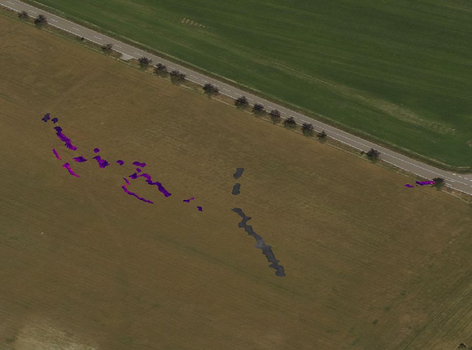
Preview Bitmap
Spatial Information
Spatial Coverage
Central Europe
Spatial File
boundingbox
(1.19 KB)
Projection
Koordinaten
POINT (11.908485138694 51.655090606087)
Temporal Information
Copyright Information
Dataset Creator
MLU Halle - Wittenberg
Von-Seckendorff-Platz 4
Institut für Geowissenschaften und Geographie
06120 Halle (Saale)
Germany
Dataset Publisher
MLU Halle - Wittenberg
Von-Seckendorff-Platz 4
Institut für Geowissenschaften und Geographie
06120 Halle (Saale)
Germany
Dataset Contributor
MLU Halle - Wittenberg
Von-Seckendorff-Platz 4
Institut für Geowissenschaften und Geographie
06120 Halle (Saale)
Germany
Access Rights
Language