Master Data
Geodata Source
Befliegung zur Überprüfung der Genauigkeit der Plattform
Identifier
//Geodaten/uav/DE_ST_Merbitz/20230316_lidar/results/20230316_merbitz_20230322-084858_dsm.tif
Bounding Box
Dataset Properties
Dataset Format
Dataset Type
Data Size [MB]
676.00
Sensor Type
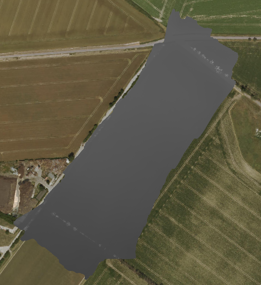
Preview Bitmap
Spatial Information
Spatial Coverage
Central Europe
Spatial File
BoundingBox
(1.19 KB)
Projection
Koordinaten
POINT (11.903608095614 51.615055033269)
Temporal Information
Copyright Information
Dataset Creator
MLU Halle - Wittenberg
Von-Seckendorff-Platz 4
Institut für Geowissenschaften und Geographie
06120 Halle (Saale)
Germany
Dataset Publisher
MLU Halle - Wittenberg
Von-Seckendorff-Platz 4
Institut für Geowissenschaften und Geographie
06120 Halle (Saale)
Germany
Dataset Contributor
MLU Halle - Wittenberg
Von-Seckendorff-Platz 4
Institut für Geowissenschaften und Geographie
06120 Halle (Saale)
Germany
Access Rights
Language