Master Data
Geodata Source
Flughöhen: 35m, 50m, 65m
65m zusätzlich in "Double Grid" beflogen
Identifier
//Geodaten/uav/DE_ST_Prosigk/20230905_lidar/results/*products
Bounding Box
Dataset Properties
Dataset Format
Dataset Type
Data Size [MB]
866.00
Sensor Type
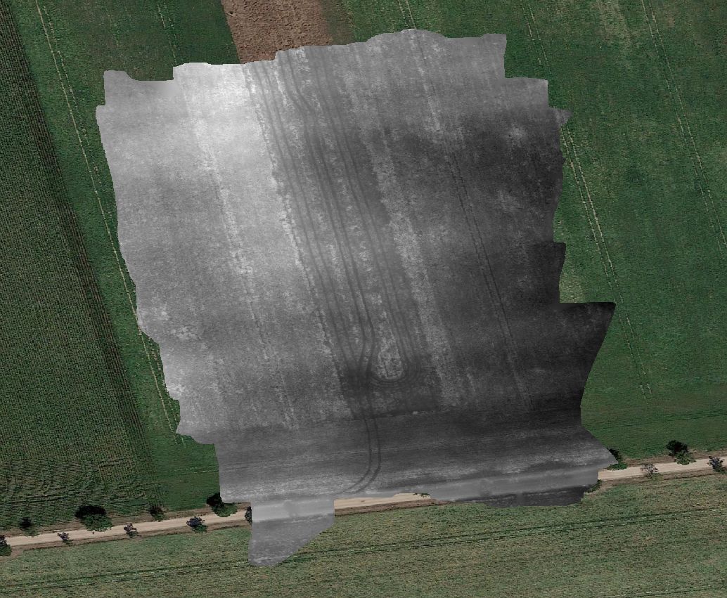
Preview Bitmap
Spatial Information
Spatial Coverage
Central Europe
Spatial File
BoundingBox
(1.19 KB)
Projection
Koordinaten
POINT (12.047798369653 51.699099098012)
Temporal Information
Copyright Information
Dataset Creator
MLU Halle - Wittenberg
Von-Seckendorff-Platz 4
Institut für Geowissenschaften und Geographie
06120 Halle (Saale)
Germany
Dataset Publisher
MLU Halle - Wittenberg
Von-Seckendorff-Platz 4
Institut für Geowissenschaften und Geographie
06120 Halle (Saale)
Germany
Dataset Contributor
MLU Halle - Wittenberg
Von-Seckendorff-Platz 4
Institut für Geowissenschaften und Geographie
06120 Halle (Saale)
Germany
Access Rights
Language