Master Data
Geodata Source
Thema: Steinedetektion
GPS-Datei der Steine vorhanden
Identifier
//Geodaten/uav/DE_ST_Franzigmark/20240319_h20t/results/20240319_thermal_dem_5cm.tif
//Geodaten/uav/DE_ST_Franzigmark/20240319_h20t/results/20240319_thermal_ortho_5cm.tif
//Geodaten/uav/DE_ST_Franzigmark/20240319_h20t/results/20240319_w_ortho_5cm.tif
//Geodaten/uav/DE_ST_Franzigmark/20240319_h20t/results/20240319_z_ortho_5cm.tif
Bounding Box
Dataset Properties
Dataset Format
Dataset Type
Data Size [MB]
912.00
Sensor Type
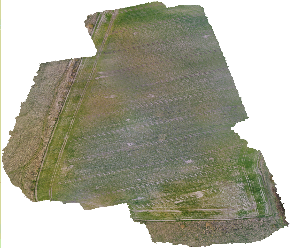
Preview Bitmap
Spatial Information
Spatial Coverage
Central Europe
Spatial File
bb_franzigmark.kml
(1.18 KB)
Projection
Spatial Resolution
5x5cm
Koordinaten
POINT (11.922203108857 51.542148010122)
Temporal Information
Copyright Information
Dataset Creator
MLU Halle - Wittenberg
Von-Seckendorff-Platz 4
Institut für Geowissenschaften und Geographie
06120 Halle (Saale)
Germany
Dataset Publisher
MLU Halle - Wittenberg
Von-Seckendorff-Platz 4
Institut für Geowissenschaften und Geographie
06120 Halle (Saale)
Germany
Dataset Contributor
MLU Halle - Wittenberg
Von-Seckendorff-Platz 4
Institut für Geowissenschaften und Geographie
06120 Halle (Saale)
Germany
Access Rights
Language