Master Data
Geodata Source
Befliegung für das Projekt AgriSens Demmin 4.0
Kartoffelfeld
Identifier
//Geodaten/uav/DE_MV_Bentzin/20210609_micasense/JLW_ortho_10_norm.tif
//Geodaten/uav/DE_MV_Bentzin/20210609_micasense/JLW_dem_20cm.tif
//Geodaten/uav/DE_MV_Bentzin/20210609_micasense/JLW_dem_10cm.tif
//Geodaten/uav/DE_MV_Bentzin/20210609_micasense/JLW_ndvi.tif
Bounding Box
Dataset Properties
Dataset Format
Dataset Type
Data Size [MB]
2596.00
Sensor Type
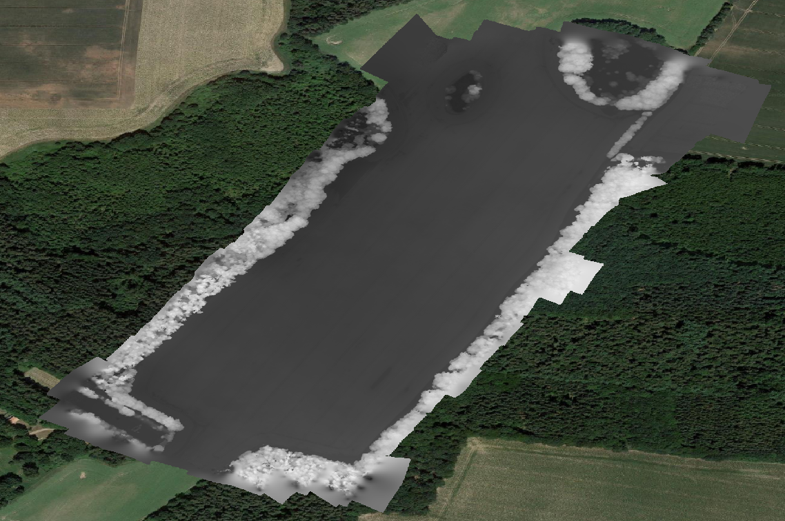
Preview Bitmap
Spatial Information
Temporal Information
Copyright Information
Dataset Creator
MLU Halle - Wittenberg
Von-Seckendorff-Platz 4
Institut für Geowissenschaften und Geographie
06120 Halle (Saale)
Germany
Dataset Publisher
MLU Halle - Wittenberg
Von-Seckendorff-Platz 4
Institut für Geowissenschaften und Geographie
06120 Halle (Saale)
Germany
Dataset Contributor
MLU Halle - Wittenberg
Von-Seckendorff-Platz 4
Institut für Geowissenschaften und Geographie
06120 Halle (Saale)
Germany
Access Rights
Language