Master Data
Geodata Source
Befliegung Feldversuch AgriSens DEMMIN 4.0
Identifier
//Geodaten/uav/DE_MV_Schmarsow/20200703_micasense/results/dsm_sugarbeet.tif
//Geodaten/uav/DE_MV_Schmarsow/20200703_micasense/results/ortho_sugarbeet.tif
//Geodaten/uav/DE_MV_Schmarsow/20200703_micasense/results/ortho_sugarbeet_10b.tif
//Geodaten/uav/DE_MV_Schmarsow/20200703_micasense/results/ortho_sugarbeet_ndvi.tif
Bounding Box
Dataset Properties
Dataset Format
Dataset Type
Data Size [MB]
3790.00
Sensor Type
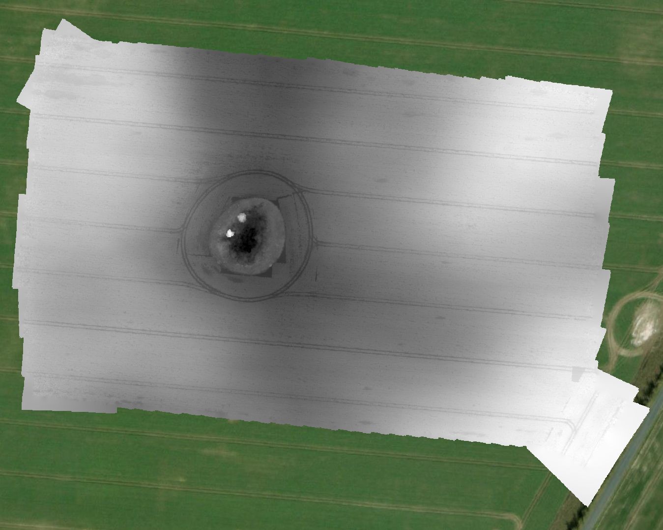
Preview Bitmap
Spatial Information
Spatial Coverage
Central Europe
Spatial File
BoundingBox
(1.19 KB)
Projection
Koordinaten
POINT (13.229470918304 53.898362673364)
Temporal Information
Copyright Information
Dataset Creator
MLU Halle - Wittenberg
Von-Seckendorff-Platz 4
Institut für Geowissenschaften und Geographie
06120 Halle (Saale)
Germany
Dataset Publisher
MLU Halle - Wittenberg
Von-Seckendorff-Platz 4
Institut für Geowissenschaften und Geographie
06120 Halle (Saale)
Germany
Dataset Contributor
MLU Halle - Wittenberg
Von-Seckendorff-Platz 4
Institut für Geowissenschaften und Geographie
06120 Halle (Saale)
Germany
Access Rights
Language