Master Data
Geodata Source
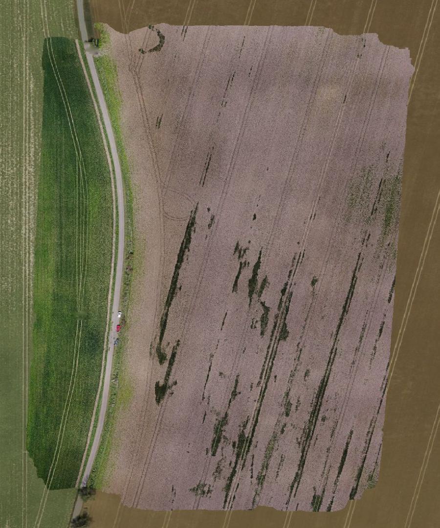
Befliegung zur Steinedetektion
Identifier
//Geodaten/uav/DE_ST_Krosigk/20230406_h20t/results/krosigk06042023_ortho_10cm_thermal_rect.tif
//Geodaten/uav/DE_ST_Krosigk/20230406_h20t/results/krosigk06042023_ortho_10cm_wide_rect.tif
//Geodaten/uav/DE_ST_Krosigk/20230406_h20t/results/krosigk06042023_ortho_10cm_zoom_rect.tif
//Geodaten/uav/DE_ST_Krosigk/20230406_h20t/results/krosigk06042023_ortho_15mm_zoom_rect.tif
//Geodaten/uav/DE_ST_Krosigk/20230406_h20t/results/krosigk06042023_ortho_10cm_thermal_rect_new.tif
Bounding Box
Dataset Properties
Dataset Format
Dataset Type
Data Size [MB]
2100.00
Sensor Type
Preview Bitmap
Spatial Information
Spatial Coverage
Central Europe
Spatial File
boundingbox
(1.19 KB)
Projection
Spatial Resolution
10x10cm; 1,5x1,5cm
Koordinaten
POINT (11.952541947923 51.626547030615)
Temporal Information
Copyright Information
Dataset Creator
MLU Halle - Wittenberg
Von-Seckendorff-Platz 4
Institut für Geowissenschaften und Geographie
06120 Halle (Saale)
Germany
Dataset Publisher
MLU Halle - Wittenberg
Von-Seckendorff-Platz 4
Institut für Geowissenschaften und Geographie
06120 Halle (Saale)
Germany
Dataset Contributor
MLU Halle - Wittenberg
Von-Seckendorff-Platz 4
Institut für Geowissenschaften und Geographie
06120 Halle (Saale)
Germany
Access Rights
Language