Master Data
Geodata Source
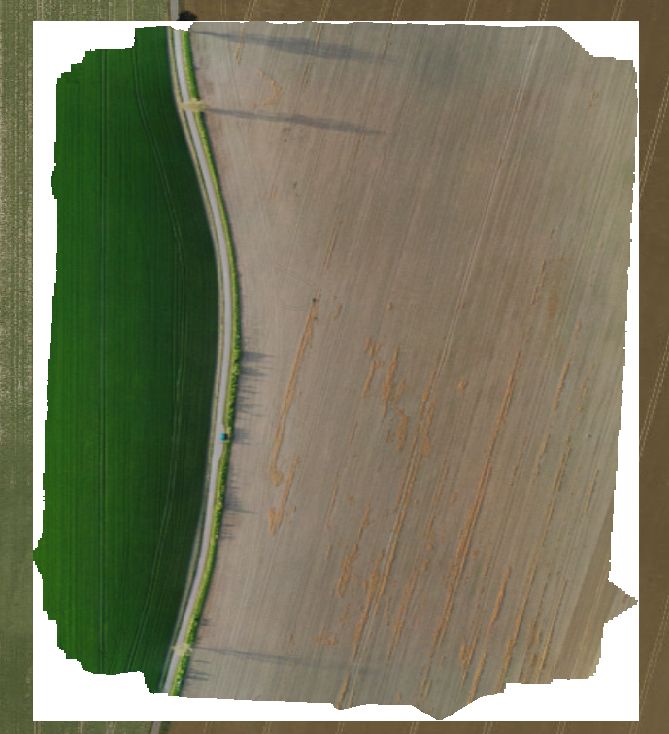
Befliegung Brache mit starkem Wind (43km/h)
Identifier
//Geodaten/uav/DE_ST_Krosigk/20230509_h20t/results/krosigk_20230509_thermal_dem.tif
//Geodaten/uav/DE_ST_Krosigk/20230509_h20t/results/krosigk_20230509_thermal_ortho.tif
//Geodaten/uav/DE_ST_Krosigk/20230509_h20t/results/krosigk_20230509_thermal_ortho_3cm.tif
//Geodaten/uav/DE_ST_Krosigk/20230509_h20t/results/krosigk_20230509_wide_dem.tif
//Geodaten/uav/DE_ST_Krosigk/20230509_h20t/results/krosigk_20230509_wide_ortho.tif
//Geodaten/uav/DE_ST_Krosigk/20230509_h20t/results/krosigk_20230509_wide_ortho_3cm.tif
Bounding Box
Dataset Properties
Dataset Format
Dataset Type
Data Size [MB]
2420.00
Sensor Type
Preview Bitmap
Spatial Information
Spatial Coverage
Central Europe
Spatial File
boundingbox
(522 bytes)
Projection
Koordinaten
POINT (11.95289284441 51.626879751913)
Temporal Information
Copyright Information
Dataset Creator
MLU Halle - Wittenberg
Von-Seckendorff-Platz 4
Institut für Geowissenschaften und Geographie
06120 Halle (Saale)
Germany
Dataset Publisher
MLU Halle - Wittenberg
Von-Seckendorff-Platz 4
Institut für Geowissenschaften und Geographie
06120 Halle (Saale)
Germany
Dataset Contributor
MLU Halle - Wittenberg
Von-Seckendorff-Platz 4
Institut für Geowissenschaften und Geographie
06120 Halle (Saale)
Germany
Access Rights
Language