Master Data
Geodata Source
Identifier
//Geodaten/uav/E_ST_Merbitz/20220712_micasense/results/20220712_micasense_dem_10cm_norm.tif
//Geodaten/uav/E_ST_Merbitz/20220712_micasense/results/20220712_micasense_ortho_10cm_norm.tif
Bounding Box
Dataset Properties
Dataset Format
Dataset Type
Data Size [MB]
1800.00
Sensor Type
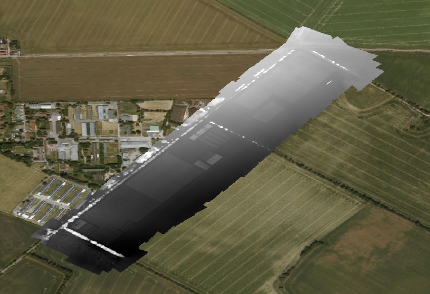
Preview Bitmap
Spatial Information
Spatial Coverage
Central Europe
Projection
Spatial Resolution
10x10cm
Koordinaten
POINT (11.905230883069 51.615550067878)
Copyright Information
Dataset Creator
MLU Halle - Wittenberg
Von-Seckendorff-Platz 4
Institut für Geowissenschaften und Geographie
06120 Halle (Saale)
Germany
Dataset Publisher
MLU Halle - Wittenberg
Von-Seckendorff-Platz 4
Institut für Geowissenschaften und Geographie
06120 Halle (Saale)
Germany
Dataset Contributor
MLU Halle - Wittenberg
Von-Seckendorff-Platz 4
Institut für Geowissenschaften und Geographie
06120 Halle (Saale)
Germany
Access Rights
Language