Master Data
Geodata Source
Identifier
//Geodaten/uav/DE_ST_Merbitz/20220621_h20t/results/20220621_Merbitz_thermal_10cm.tif
//Geodaten/uav/DE_ST_Merbitz/20220621_h20t/results/20220621_Merbitz_thermal_10cm_radiometric.tif
//Geodaten/uav/DE_ST_Merbitz/20220621_h20t/results/20220621_Merbitz_thermal_dem_10cm_norm.tif
Bounding Box
Dataset Properties
Dataset Format
Dataset Type
Data Size [MB]
128.00
Sensor Type
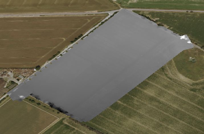
Preview Bitmap
Spatial Information
Spatial Coverage
Central Europe
Spatial File
boundingbox
(1.19 KB)
Projection
Koordinaten
POINT (11.90427661116 51.61456681362)
Temporal Information
Copyright Information
Dataset Creator
MLU Halle - Wittenberg
Von-Seckendorff-Platz 4
Institut für Geowissenschaften und Geographie
06120 Halle (Saale)
Germany
Dataset Publisher
MLU Halle - Wittenberg
Von-Seckendorff-Platz 4
Institut für Geowissenschaften und Geographie
06120 Halle (Saale)
Germany
Dataset Contributor
MLU Halle - Wittenberg
Von-Seckendorff-Platz 4
Institut für Geowissenschaften und Geographie
06120 Halle (Saale)
Germany
Access Rights
Language