Master Data
Geodata Source
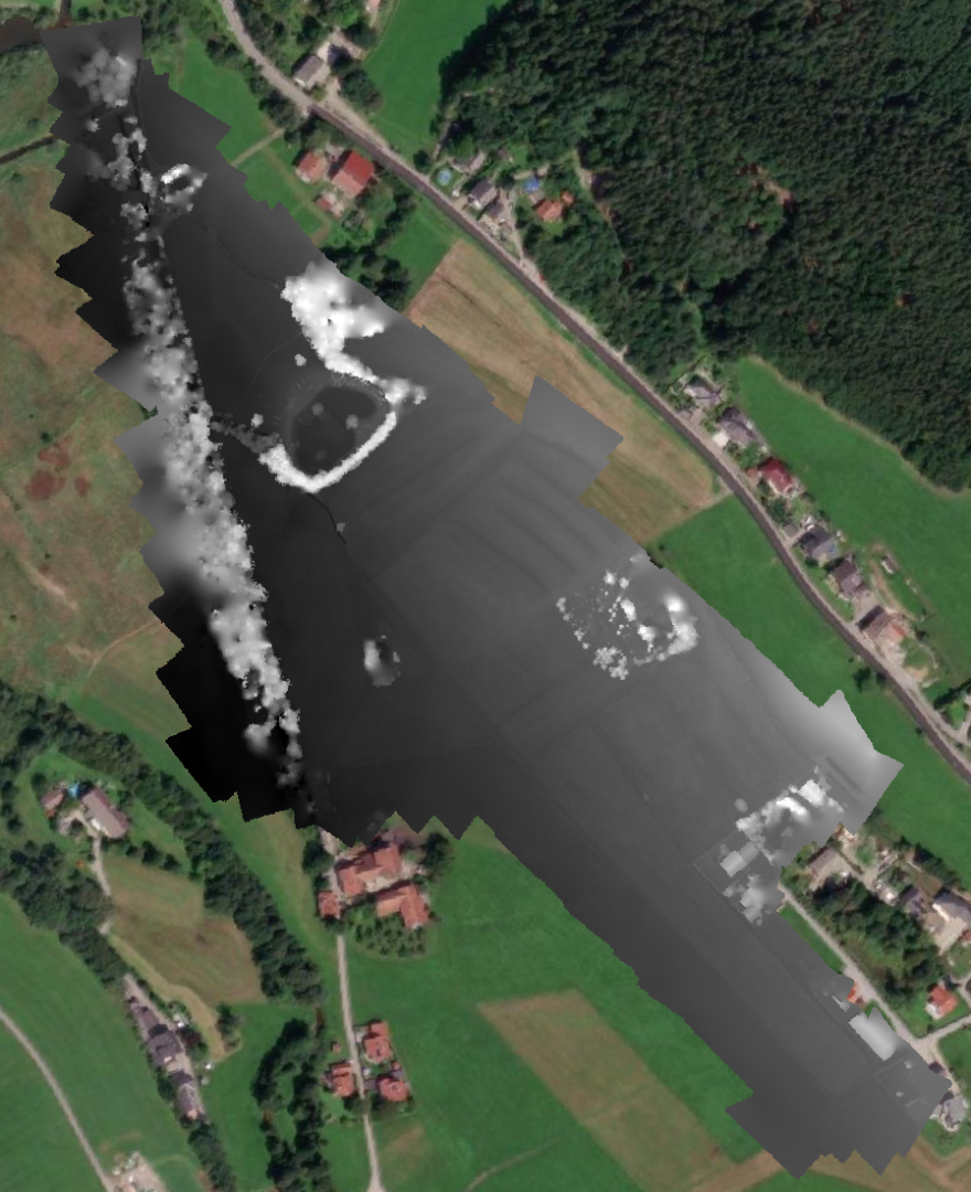
Aufnahme einer wilden Wiese
Lebensraum für eine spezielle Art von Schmetterlingen
in Kooperation mit Paris-Lodron-Universität Salzburg
starke Windeinfluss (bis zu 40km/h)
Identifier
//Geodaten/uav/AUT_OOE_Teichstaett/20230531_micasense/results/Teichstaett_50AGL_dem_5cm.tif
//Geodaten/uav/AUT_OOE_Teichstaett/20230531_micasense/results/Teichstaett_50AGL_ortho_10cm_norm.tif
//Geodaten/uav/AUT_OOE_Teichstaett/20230531_micasense/results/Teichstaett_100AGL_dem_5cm.tif
//Geodaten/uav/AUT_OOE_Teichstaett/20230531_micasense/results/Teichstaett_100AGL_ortho_10cm_norm.tif
//Geodaten/uav/AUT_OOE_Teichstaett/20230531_micasense/results/Teichstätt_dem_10cm_norm.tif
Bounding Box
Dataset Properties
Dataset Format
Dataset Type
Data Size [MB]
1927.00
Sensor Type
Preview Bitmap
Spatial Information
Spatial Coverage
Central Europe
Spatial File
boundingbox
(1.19 KB)
Projection
Koordinaten
POINT (13.222202942941 48.034598704433)
Temporal Information
Copyright Information
Dataset Creator
MLU Halle - Wittenberg
Von-Seckendorff-Platz 4
Institut für Geowissenschaften und Geographie
06120 Halle (Saale)
Germany
Dataset Publisher
MLU Halle - Wittenberg
Von-Seckendorff-Platz 4
Institut für Geowissenschaften und Geographie
06120 Halle (Saale)
Germany
Dataset Contributor
MLU Halle - Wittenberg
Von-Seckendorff-Platz 4
Institut für Geowissenschaften und Geographie
06120 Halle (Saale)
Germany
Access Rights
Language