Master Data
Geodata Source
Befliegung in Kooperation mit Paris-Lodron-Universität Salzburg
Identifier
//Geodaten/uav/AUT_SL_Weitwoerth/20230901_micasense/results/20230901_micasense_ortho_8cm_norm.tif
//Geodaten/uav/AUT_SL_Weitwoerth/20230901_micasense/results/20230901_micasense_dem_8cm.tif
Bounding Box
Dataset Properties
Dataset Format
Dataset Type
Data Size [MB]
4280.00
Sensor Type
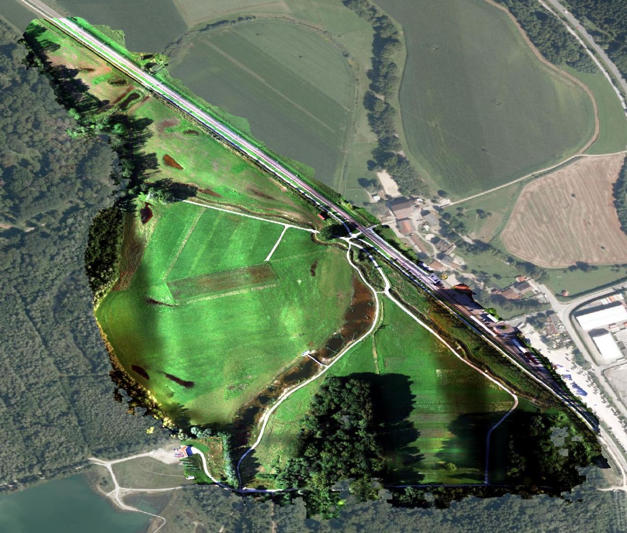
Preview Bitmap
Spatial Information
Temporal Information
Copyright Information
Dataset Creator
MLU Halle - Wittenberg
Von-Seckendorff-Platz 4
Institut für Geowissenschaften und Geographie
06120 Halle (Saale)
Germany
Dataset Publisher
MLU Halle - Wittenberg
Von-Seckendorff-Platz 4
Institut für Geowissenschaften und Geographie
06120 Halle (Saale)
Germany
Dataset Contributor
MLU Halle - Wittenberg
Von-Seckendorff-Platz 4
Institut für Geowissenschaften und Geographie
06120 Halle (Saale)
Germany
Access Rights
Language