Master Data
Geodata Source
Flughöhe: 80m?
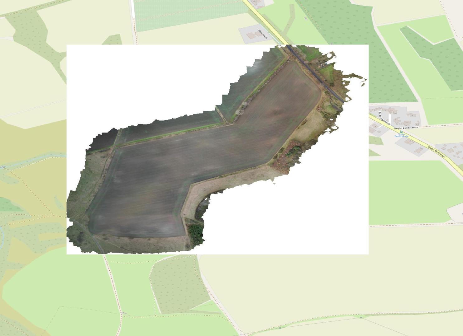
Thermalbefliegung mit Luft- und Thermalbildern in 5 cm bzw. 10 cm (Agisoft) Auflösung der Ackerfläche südwestlich von Grube Ferdinande in Richtung Franzigmark
Befliegung nach sonniger, windstiller Witterung zwischen 15 und 16 Uhr
Befliegungszweck: Steinesuche, Steineexperiement Agrisens DEMMIN Deppe und Stücker & Petersberger Agrar
Dataset Properties
Dataset Format
Dataset Type
Sensor Type

Spatial Information
Projection
Temporal Information
Copyright Information
MLU Halle - Wittenberg
Von-Seckendorff-Platz 4
Institut für Geowissenschaften und Geographie
06120 Halle (Saale)
Germany
MLU Halle - Wittenberg
Von-Seckendorff-Platz 4
Institut für Geowissenschaften und Geographie
06120 Halle (Saale)
Germany
MLU Halle - Wittenberg
Von-Seckendorff-Platz 4
Institut für Geowissenschaften und Geographie
06120 Halle (Saale)
Germany