Master Data
Geodata Source
Identifier
//Geodaten/uav/DE_ST_Brachwitz/20240417_micasense/results/20240417_rededge_mx_dem_5cm.tif
//Geodaten/uav/DE_ST_Brachwitz/20240417_micasense/results/20240417_rededge_mx_ortho_norm_5cm.tif
//Geodaten/uav/DE_ST_Brachwitz/20240417_micasense/results/VTOL_Brachwitz_LSS_3_17042024_dem_5cm.tif
//Geodaten/uav/DE_ST_Brachwitz/20240417_micasense/results/VTOL_Brachwitz_LSS_3_17042024_ortho_5cm.tif
//Geodaten/uav/DE_ST_Brachwitz/20240417_micasense/results/VTOL_Brachwitz_LSS_3_17042024_ortho_norm_5cm.tif
Bounding Box
Dataset Properties
Dataset Format
Dataset Type
Data Size [MB]
20100.00
Sensor Type
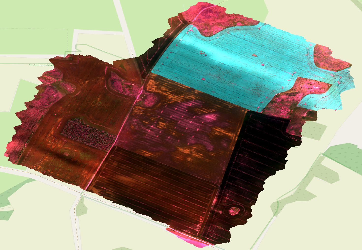
Preview Bitmap
Spatial Information
Spatial Coverage
Central Europe
Spatial File
bb_brachwitz.kml
(1.19 KB)
Projection
Spatial Resolution
5x5cm
Koordinaten
POINT (11.884562092564 51.555309383775)
Copyright Information
Dataset Creator
MLU Halle - Wittenberg
Von-Seckendorff-Platz 4
Institut für Geowissenschaften und Geographie
06120 Halle (Saale)
Germany
Dataset Publisher
MLU Halle - Wittenberg
Von-Seckendorff-Platz 4
Institut für Geowissenschaften und Geographie
06120 Halle (Saale)
Germany
Dataset Contributor
MLU Halle - Wittenberg
Von-Seckendorff-Platz 4
Institut für Geowissenschaften und Geographie
06120 Halle (Saale)
Germany
Access Rights
Language