Master Data
Geodata Source
Identifier
//Geodaten/uav/DE_ST_Plotha/20260226_altum/results/DE_ST_Plotha_20260226_dem_5cm.tif
//Geodaten/uav/DE_ST_Plotha/20260226_altum/results/DE_ST_Plotha_20260226_ortho_norm_5cm.tif
Bounding Box
Dataset Properties
Dataset Format
Dataset Type
Data Size [MB]
5000.00
Sensor Type
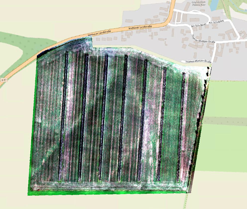
Preview Bitmap
Spatial Information
Spatial Coverage
Central Europe
Spatial File
DE_ST_Plotha_20260226_dem_5cm.kml
(526 bytes)
Projection
Spatial Resolution
5cmx5cm
Koordinaten
POINT (11.912639 51.148403)
Temporal Information
Copyright Information
Dataset Creator
MLU Halle - Wittenberg
Von-Seckendorff-Platz 4
Institut für Geowissenschaften und Geographie
06120 Halle (Saale)
Germany
Dataset Publisher
MLU Halle - Wittenberg
Von-Seckendorff-Platz 4
Institut für Geowissenschaften und Geographie
06120 Halle (Saale)
Germany
Dataset Contributor
MLU Halle - Wittenberg
Von-Seckendorff-Platz 4
Institut für Geowissenschaften und Geographie
06120 Halle (Saale)
Germany
Access Rights
Language