Master Data
Geodata Source
Identifier
//Geodaten/uav/DE_ST_Merbitz/20230316_h20t/results/20230316_h20T_dem_10cm_norm.tif
//Geodaten/uav/DE_ST_Merbitz/20230316_h20t/results/20230316_h20T_dem_10cm_rect.tif
//Geodaten/uav/DE_ST_Merbitz/20230316_h20t/results/20230316_h20T_orth_10cm_thermal.tif
//Geodaten/uav/DE_ST_Merbitz/20230316_h20t/results/20230316_h20T_orth_10cm_w_rect.tif
//Geodaten/uav/DE_ST_Merbitz/20230316_h20t/results/20230316_h20T_orth_10cm_z_rect.tif
Bounding Box
Dataset Properties
Dataset Format
Dataset Type
Data Size [MB]
764.00
Sensor Type
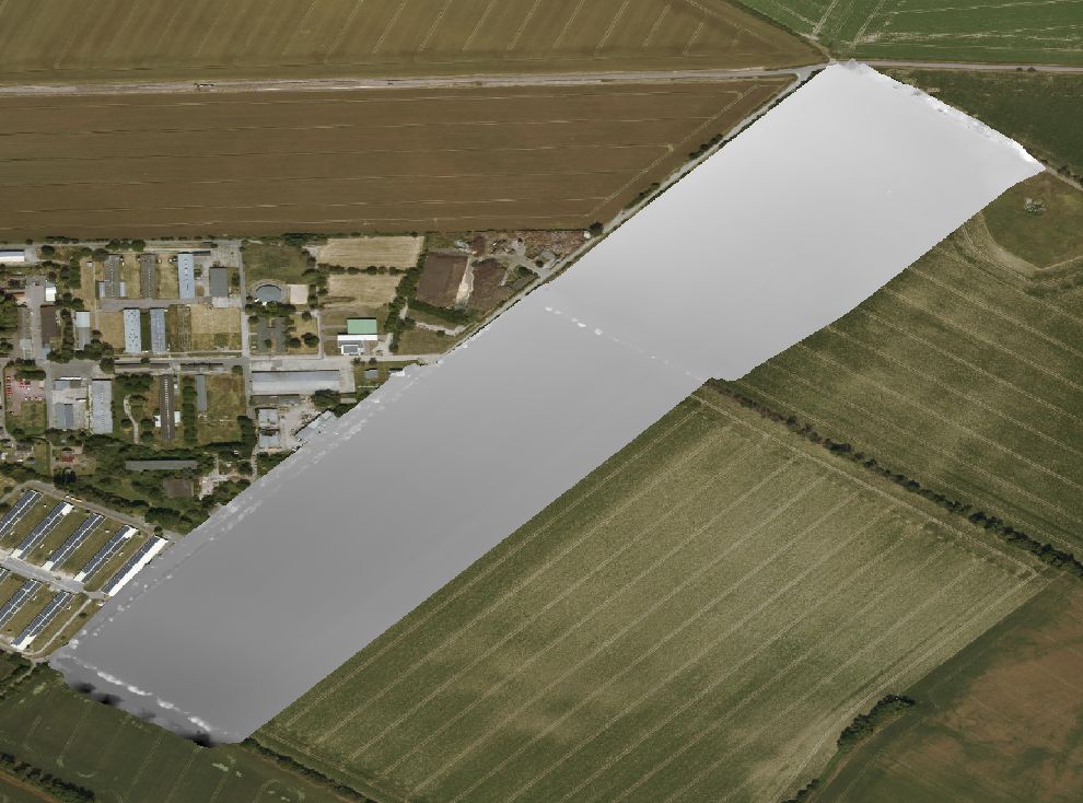
Preview Bitmap
Spatial Information
Spatial Coverage
Central Europe
Projection
Spatial Resolution
10x10cm
Koordinaten
POINT (11.904396081566 51.614658933181)
Temporal Information
Copyright Information
Dataset Creator
MLU Halle - Wittenberg
Von-Seckendorff-Platz 4
Institut für Geowissenschaften und Geographie
06120 Halle (Saale)
Germany
Dataset Publisher
MLU Halle - Wittenberg
Von-Seckendorff-Platz 4
Institut für Geowissenschaften und Geographie
06120 Halle (Saale)
Germany
Dataset Contributor
MLU Halle - Wittenberg
Von-Seckendorff-Platz 4
Institut für Geowissenschaften und Geographie
06120 Halle (Saale)
Germany
Access Rights
Language