Master Data
Geodata Source
Identifier
//Geodaten/uav/DE_MV_Vanselow/20230711_micasense/results/20230711_altum_Feld 1_dem_5cm.tif
//Geodaten/uav/DE_MV_Vanselow/20230711_micasense/results/20230711_altum_Vanselow_F1 Flight 01_dem_5cm.tif
//Geodaten/uav/DE_MV_Vanselow/20230711_micasense/results/20230711_altum_Vanselow_F1 Flight 02_dem_5cm.tif
Bounding Box
Dataset Properties
Dataset Format
Dataset Type
Data Size [MB]
980.00
Sensor Type
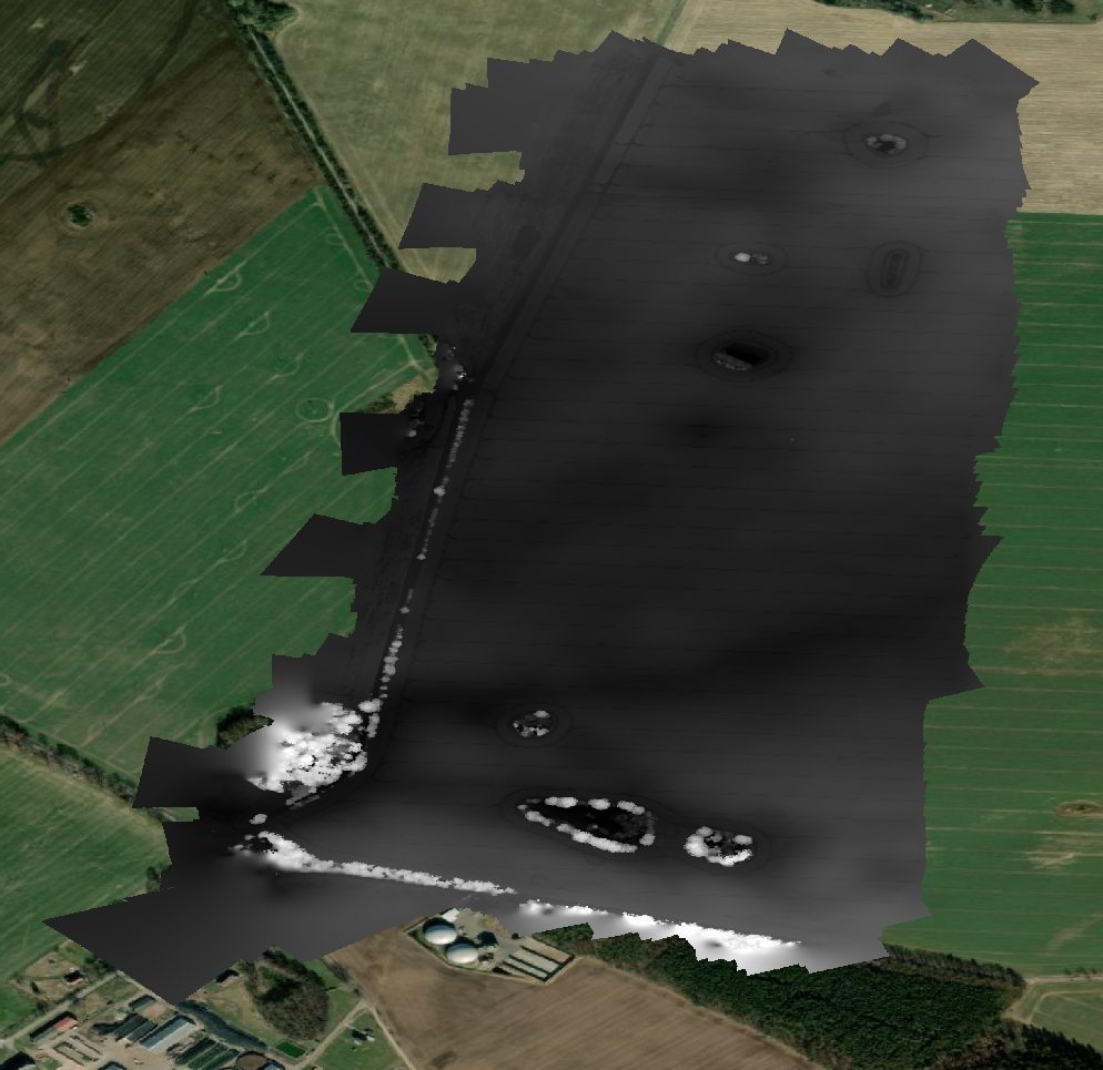
Preview Bitmap
Spatial Information
Temporal Information
Copyright Information
Dataset Creator
MLU Halle - Wittenberg
Von-Seckendorff-Platz 4
Institut für Geowissenschaften und Geographie
06120 Halle (Saale)
Germany
Dataset Publisher
MLU Halle - Wittenberg
Von-Seckendorff-Platz 4
Institut für Geowissenschaften und Geographie
06120 Halle (Saale)
Germany
Dataset Contributor
MLU Halle - Wittenberg
Von-Seckendorff-Platz 4
Institut für Geowissenschaften und Geographie
06120 Halle (Saale)
Germany
Access Rights
Language